
The Archive
Explore the Time Capsule
Five centuries compressed into a single drag. Witness Elmina as it was, and as it endures.
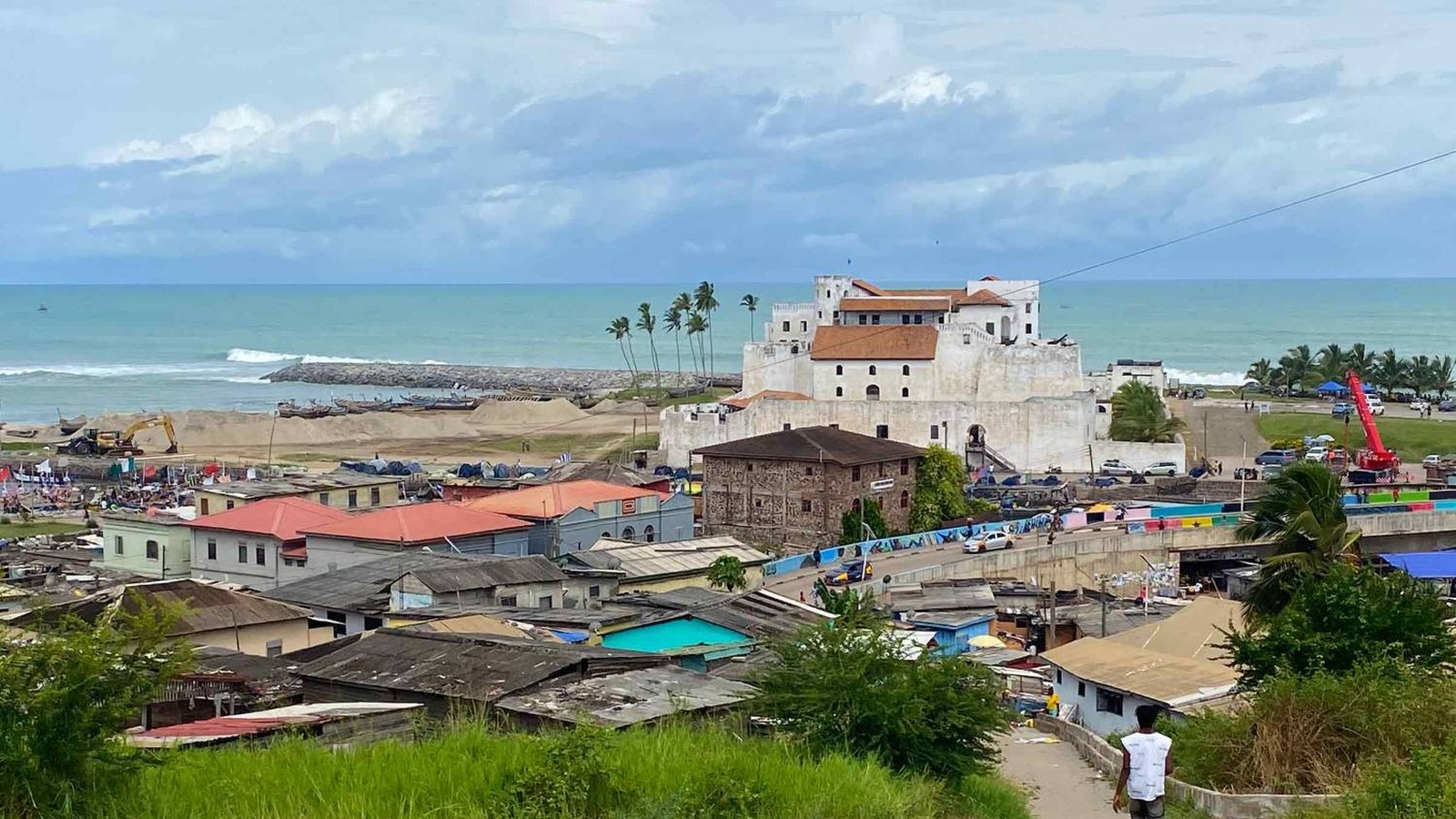
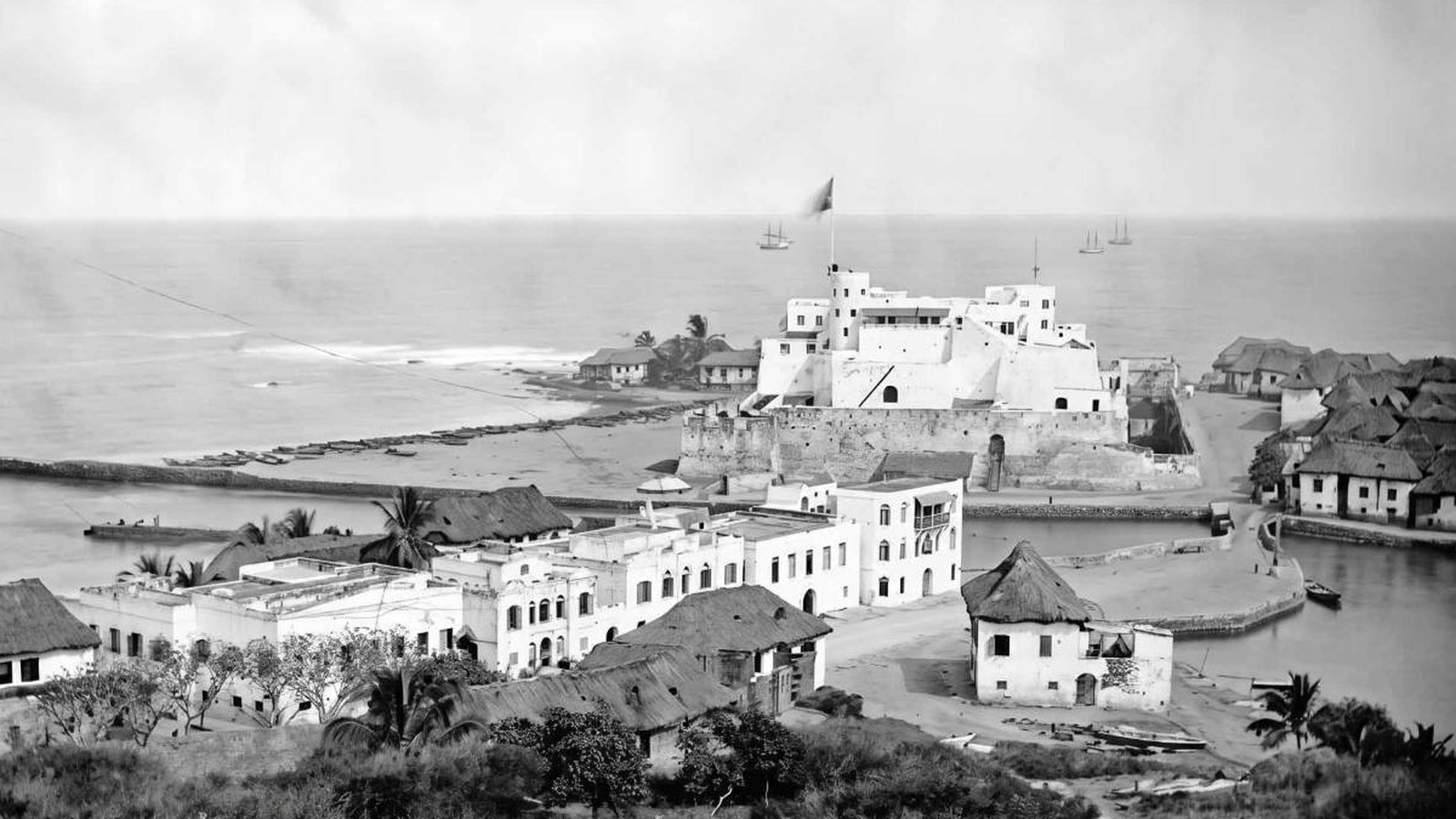

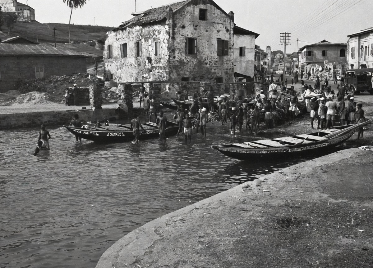


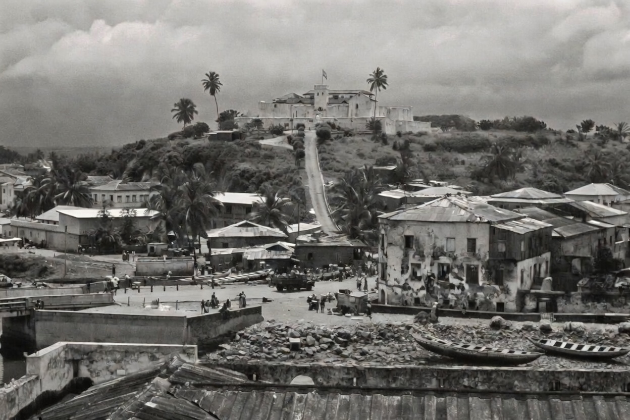
The Town viewed from Fort St Jago
Elmina, c. 1865
Taken from the Jago Hill (Fort St Jago) in 1865, this is one of the earliest and rarest photographs of Elmina. Its rarity lies in what it holds: the ancestral town as it stood eight years before the bombardment of 1873. The Dutch colonial architecture lines the shore, the fishing canoes lie at rest behind the castle. The same shoreline endures today, layered now with a century and a half of living. What has truly moved over time is the town itself. Forbidden from rebuilding on the decimated peninsula after 1873, the people of Elmina established their lives on the opposite side of the lagoon instead.
A Century of Customary Legacy and Legal History
Kraku House
Situated along Elmina’s historic Liverpool Street, Kraku House stands as a vital monument to Ghana’s colonial and post-colonial social heritage. Originally granted to Chief Eccra Quacoe by the prominent Quacoe Acquah family in 1890, this domestic space offers a critical, localised window into 19th and 20th century transitions. The property became the epicenter of a landmark 1949 legal battle (Willie Hockland Krakue v. Kwamina Aiju), transforming the family home into a cornerstone precedent for Fante Customary Law, intestate succession, and communal property rights. Architecturally and geographically integrated into Elmina’s 15th-to-19th-century urban fabric, Kraku House is part of a dense heritage corridor that includes the 1482 Portuguese fortress and the nearby Ama Araba Smith Fie (1862). It stands as a powerful testament to the lived, domestic histories that shaped the Gold Coast.
The Artery of Old Elmina
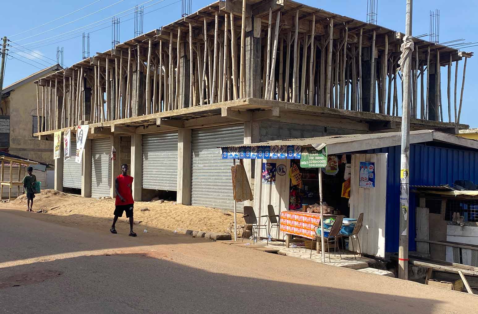
Benya Liverpool Street View
Named after the English port city that anchored the Atlantic trade network, Liverpool Street was the commercial spine of Elmina. Traders, missionaries, soldiers, and fishermen all passed through here. The street’s name outlasted the empire that gave it.
Where the Ancestral Home Stood
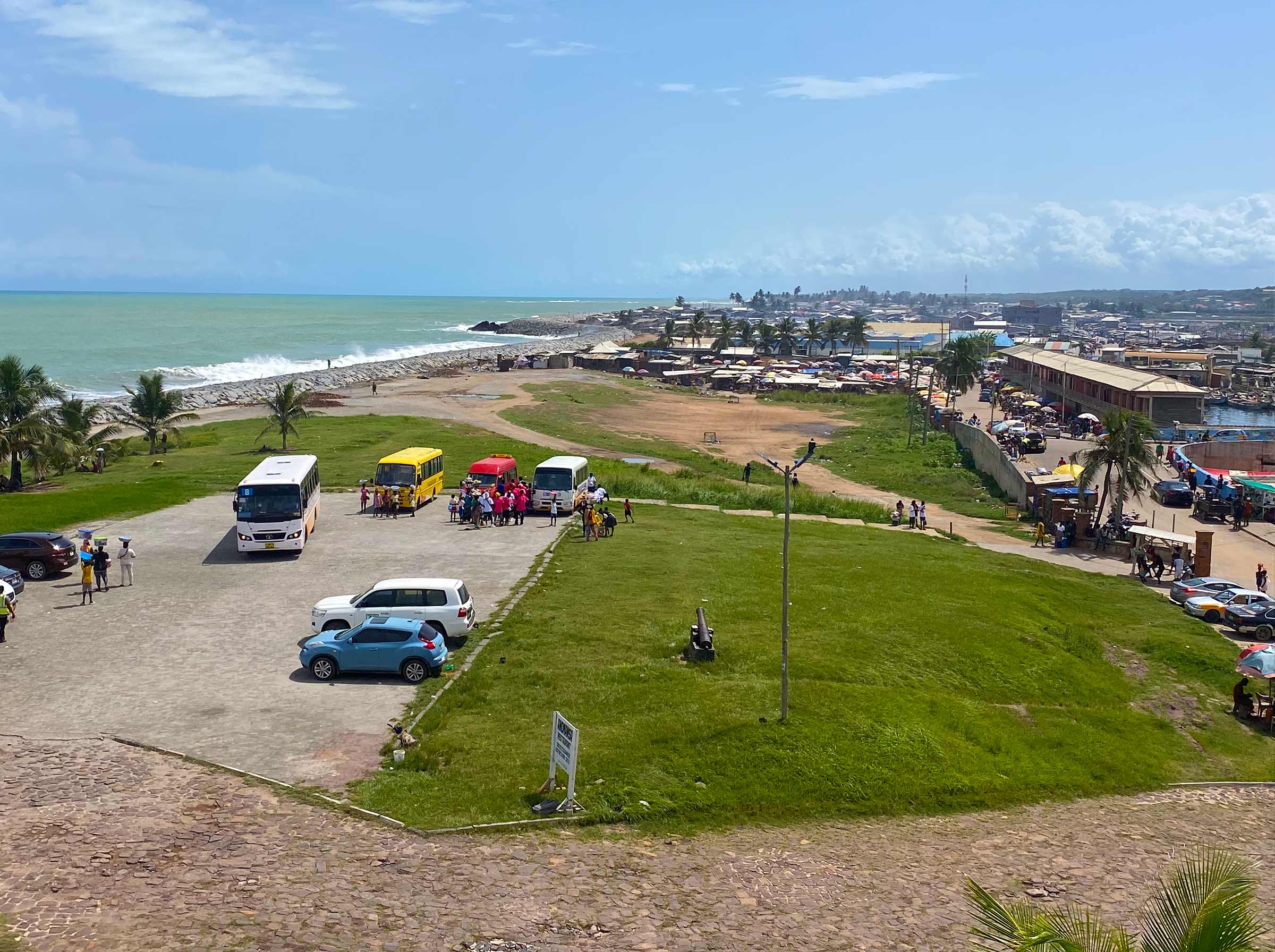
View from the Castle
The flat expanse stretching from the castle walls to the ocean is entirely man-made. Until June 13, 1873, this peninsula between the lagoon and the Atlantic was the largest, most populous urban settlement on the entire Gold Coast, the ancestral home to an estimated 20,000 residents and over 3,000 multi-story stone merchant houses. Following a devastating British bombardment, colonial forces leveled the thriving metropolis, banned resettlement, and converted the vibrant community into a military parade ground. Archival photos capture this stark transformation, showing organised ranks of colonial troops stationed exactly where civilian homes once stood. Protected today as part of a UNESCO World Heritage site encompassing Elmina Castle and Fort St. Jago, this cleared land remains unbuilt serving only as open lawn and parking.
Where Elmina Has Always Gathered
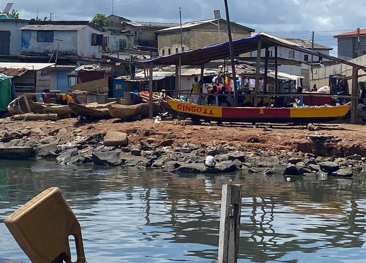
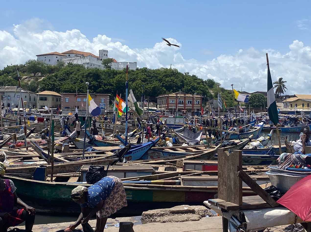
The Fish Market
The Hill Above the Town
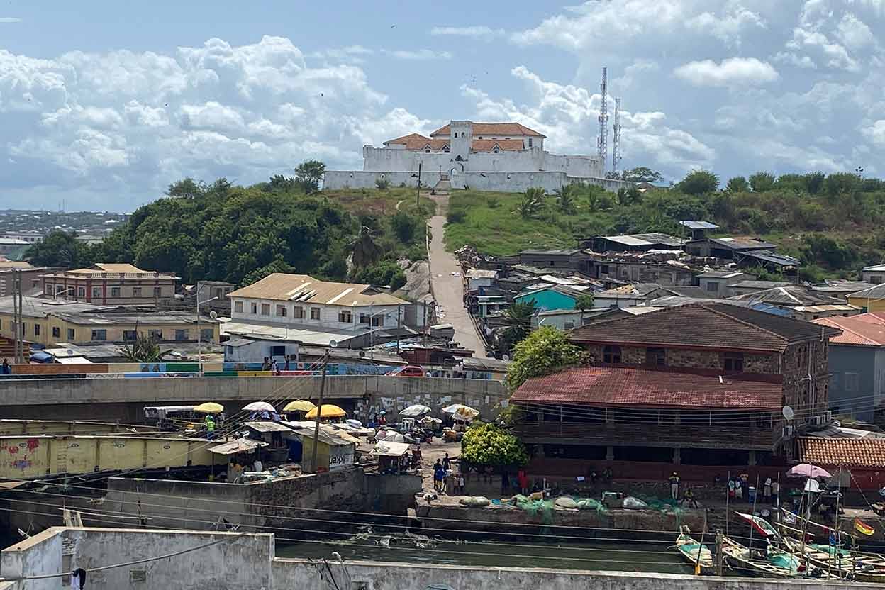
Fort St. Jago
Built by the Portuguese in 1558 on the hill overlooking Elmina Castle, Fort St. Jago passed through Portuguese, Dutch, and British hands before Ghana’s independence. Today it offers the most complete panorama of Elmina: the lagoon, the Atlantic, and the town that outlasted every empire.
The Archive · Select to Shuffle
6 transitions · Click any card to load it onto the Stage
Scroll to see all transitions